GaStat: Population annual growth rate in Saudi Arabia is 2.52%
03-04-2018
According to the population characteristics survey, July 2017
GaStat: Population annual growth rate in Saudi Arabia is 2.52%
The General Authority for Statistics (GaStat) indicated that during the previous period, the authority has conducted a set of population statistics surveys, last of which was the population characteristics survey which has been implemented on the field during the period from 17/7/1438 H to 22/8/1438 H corresponding 14/4/2017 to 18/5/2017.
GaStat spokesman, Taiseer Almufarrij said that according to the population characteristics survey2017, the number of Saudi Arabia’s population is (32552336) compared to (31742038) which is the number registered in the demographic survey 2016, with a growth rate of (2.52%). The population are distributed by gender (57.48%) males, and (42.52%) females in 2017 (1438H). those percentages are similar to the percentages of 2016’s survey where males registered (57.44%) and females registered (42.56%). According to 2016 survey results, the number of Saudi population was estimated at (20,064,970) with an increase of (343.392) persons. However, Saudi population are distributed by gender with (50.95%) males and (49.06%) females in 2017 (1438H). those percentages are similar to the percentages of 2016’s survey where males registered (50.96%) and females registered (49.04%).
Almufarrij added that the survey contained households’ data including the marital status, educational status, demographic structure of Saudi and non-Saudi population on the level of Saudi administrative regions. Through the survey, many indicators were extracted such as mortality rate, population’ age and gender structure, and levels of marriage and divorce.
On the other hand, GaStat has started working with specialists and experts from some governmental entities and followed a number of steps in preparation for 2020-1441 H census. The data of this census includes demographic, economic, and educational characteristics of population, dwelling characteristics that are represented in the geographical and distinct data, and dwelling housing characteristics.

The General Authority for Statistics (GaStat): Shura's Comments about the Annual Report Are of Our Concern
21-03-2018
Shura Council confirms that it agrees with the transformation program of the statistical sector
The General Authority for Statistics (GaStat): Shura's Comments about the Annual Report Are of Our Concern
GaStat thanked the Chairman of the Shura Council and all the members for their comments and suggestions about the work of the Authority at its twenty-fifth meeting of the second year of the seventh session, in which the Council discussed the annual report of GaStat for the fiscal year 1437/1438.
The official spokesman of the Authority, Mr. Tayseer Al-Mufrraj, said that GaStat is committed to consider the comments to deepen the positive impact in the development of the statistical sector in the Kingdom and to lead the statistical work.
He stressed that the comments made by the members of the Shura Council are in line with the transformation program of the statistical sector carried out by the Authority.

GaStat Launches an “Interactive Map" to Present Statistical Data for the Services in Saudi Arabia
19-03-2018
It links data to a geographical location to analyze and extract reports
GaStat Launches an “Interactive Map" to Present Statistical Data for the Services in Saudi Arabia
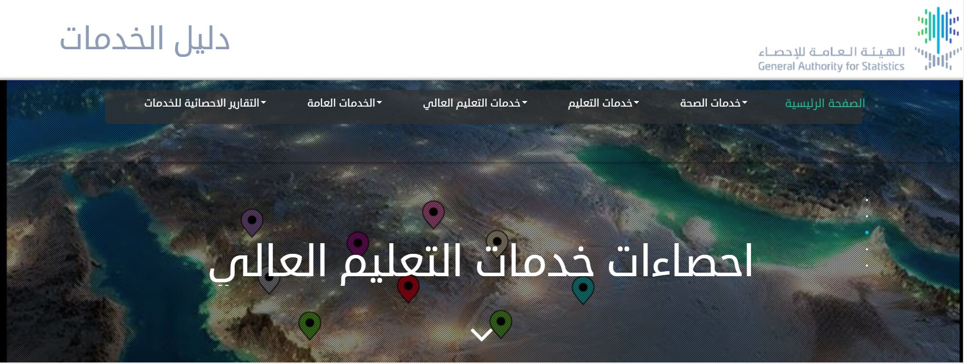
As part of its efforts to support decision makers and policy makers and enable their customers to use statistical data and access them based on their needs, GaStat has launched the "Interactive Map" on its official website www.stats.gov.sa for the Services Guide that was recently released by the Authority, which is the unified reference for the services available in different regions of the Kingdom’s cities and villages.
The interactive map is a technical tool that reviews statistical data by linking the statistical data to the geographical location to show the spread of the services on an interactive map for the Kingdom. This will add extra features and enable the user to make logical questions as well as spatial analysis on the services database. It also enables the user to reach the statistical data of the geographical location clearly for the different distribution of the services at the Kingdom’s level.
Moreover, the interactive map provides basic data for planners, policy makers and decision makers based on the names in the administrative regions. It depends on the data classification in five major groups that include: health services, education services, higher education services, public services, statistical reports of services. The map can review the details of each service according to the service provider, which allows the user to perform a search by specifying the names that contain a specific service within a specific search, or to identify the nearest populated area on the map. It also displays the distribution of services according to the type of service or the administrative areas. Additionally, it includes a "service calculator" which is a tool for making logical queries on the database. The “services calculator” enables a logical search of all the elements of the database and it reviews the results on the map to understand the form of geomagnetic distributions of any search and the possibility to extract the results on an Excel file.
The interactive map provides the totals, components and distributions of the services in Saudi Arabia at the level of its administrative regions, illustrated by graphs and geographical maps. It also offers an application designed to release statistical reports for various services at the level of the administrative region, governorate, municipality or populated area based on the needs of the user and with the possibility to print a report for the search results.

The General Authority for Statistics Starts the Second Phase of Updating the Guidebook for the Populated Areas, in Preparation for the 2020 Population Census
18-03-2018
Including Aseer Region, Al baha, Jazan and Najran
The General Authority for Statistics Starts the Second Phase of Updating the Guidebook for the Populated Areas, in Preparation for the 2020 Population Census
In preparation for the population and houses census project (2020- 1441 AH) GaStat started to work according to a series of steps and in coordination with a number of government agencies on the technical arrangements of the implementation “for updating the populated areas guidebook”. It is considered the first field steps proceeding the census 2020 project. These steps are according to a timetable that includes all the stages of updating the guidebook for the populated names for different regions of the Kingdom and it includes: Aseer Region, Al baha Region, Jazan Region and Najran Region. In addition, there will be a number of stages that covers all the Kingdom regions during this year 2018.
This project aims to update the guidebook for the populated areas in the field and to process its data by observing all the changes occurred in the guidebook. Moreover, during the updating process, the number of dwellings and establishments in the populated areas are considered and distributed to statistical work areas, also linking the populated areas to the national address, identifying the populated areas on maps and making any necessary divisions. As well as counting the rugged areas, Badia areas and areas requiring prior coordination.
On the other hand, the General authority for statistics (GaStat) has recently held the first specialized workshops to discuss the census form (2020) within a series of workshops related to the form. And that was with the participation of some experts and specialists from the GaStat, and a number of relevant government agencies.
The project of population and housing census (2020- 1441 AH) aims to collect and publish the demographic, social and economic data of the population to provide the requirements of the government of basic data on population and housing to build the development plans, also the needs of researchers and planners, and to provide a new framework for all of the specialized statistical researches that are conducted based on the sample method. Additionally, finding a broad base of data and using it as a reliable source to conduct studies and researches required by the development programs, providing the data and indicators of population periodically to measure the population characteristics changes over the time, making local, regional and international comparisons, and to review, evaluate the population estimates in the future.
