Last update 19 / 03 / 2018
GaStat Launches an “Interactive Map" to Present Statistical Data for the Services in Saudi Arabia

It links data to a geographical location to analyze and extract reports
GaStat Launches an “Interactive Map" to Present Statistical Data for the Services in Saudi Arabia
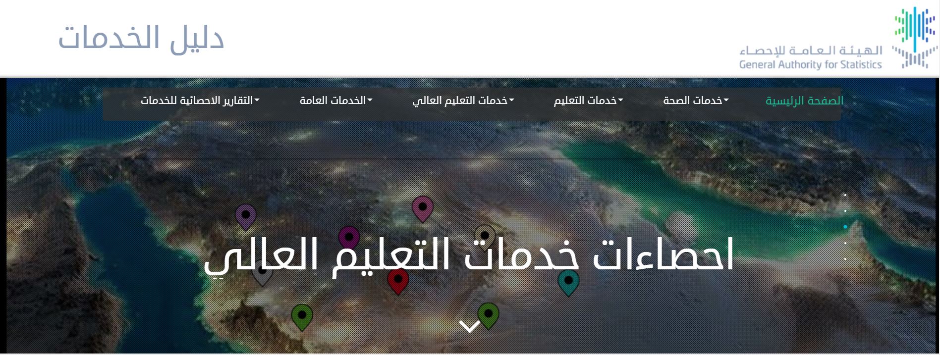
As part of its efforts to support decision makers and policy makers and enable their customers to use statistical data and access them based on their needs, GaStat has launched the "Interactive Map" on its official website www.stats.gov.sa for the Services Guide that was recently released by the Authority, which is the unified reference for the services available in different regions of the Kingdom’s cities and villages.
The interactive map is a technical tool that reviews statistical data by linking the statistical data to the geographical location to show the spread of the services on an interactive map for the Kingdom. This will add extra features and enable the user to make logical questions as well as spatial analysis on the services database. It also enables the user to reach the statistical data of the geographical location clearly for the different distribution of the services at the Kingdom’s level.
Moreover, the interactive map provides basic data for planners, policy makers and decision makers based on the names in the administrative regions. It depends on the data classification in five major groups that include: health services, education services, higher education services, public services, statistical reports of services. The map can review the details of each service according to the service provider, which allows the user to perform a search by specifying the names that contain a specific service within a specific search, or to identify the nearest populated area on the map. It also displays the distribution of services according to the type of service or the administrative areas. Additionally, it includes a "service calculator" which is a tool for making logical queries on the database. The “services calculator” enables a logical search of all the elements of the database and it reviews the results on the map to understand the form of geomagnetic distributions of any search and the possibility to extract the results on an Excel file.
The interactive map provides the totals, components and distributions of the services in Saudi Arabia at the level of its administrative regions, illustrated by graphs and geographical maps. It also offers an application designed to release statistical reports for various services at the level of the administrative region, governorate, municipality or populated area based on the needs of the user and with the possibility to print a report for the search results.
